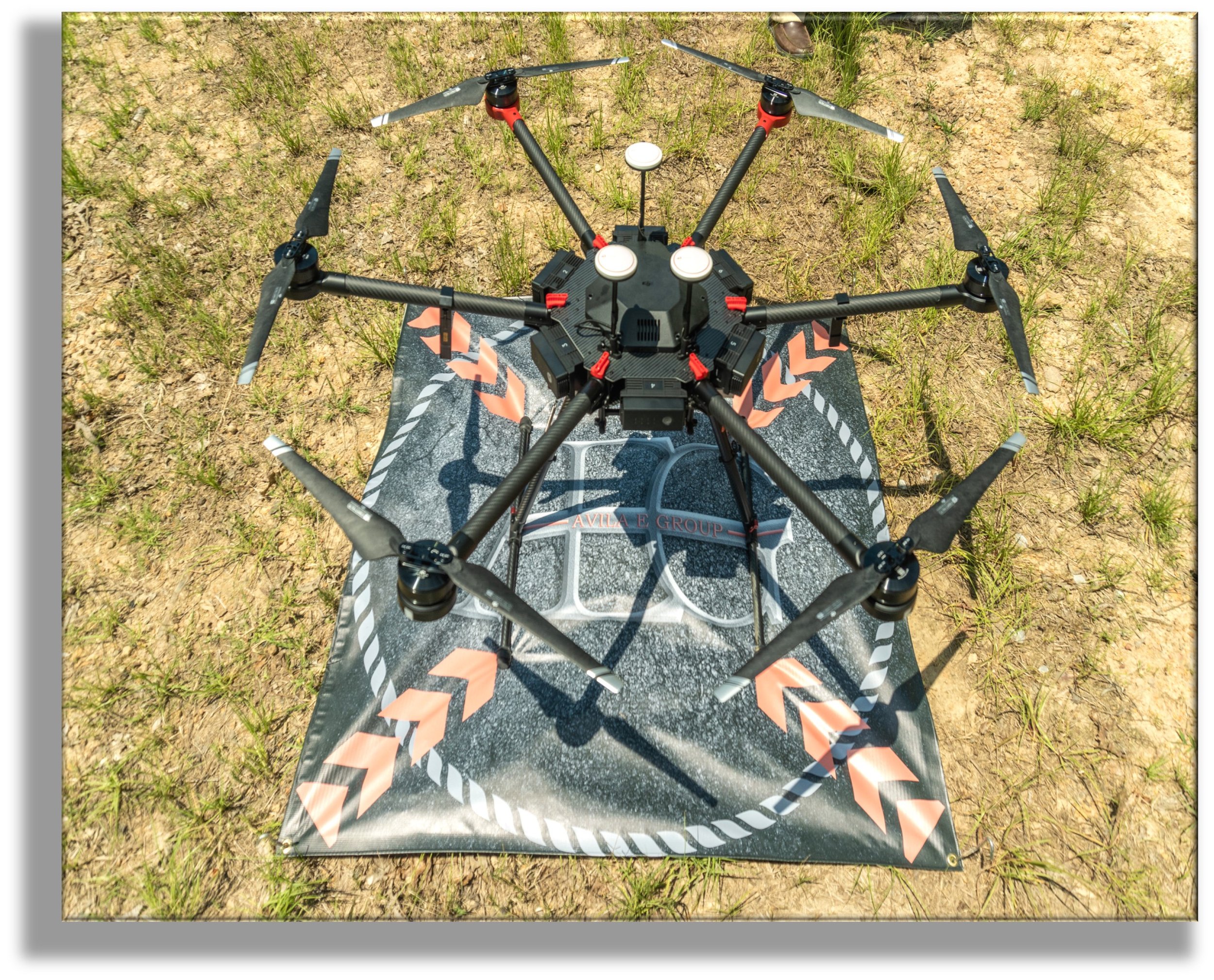
Engineering Inspection & Assessment
We have a proven history in multiple sectors providing professional engineering services for asset management, operational intelligence, planning and engineering, and risk assessment. Our innovative solutions enable us to challenge the status quo, bring fresh perspective to the traditional ways of doing business and have significant potential for increasing our client’s competitive advantage and profitability. We are equipped with a fleet of drones and attachments to provide engineering inspection and assessment services with numerous applications in multiple industries including transportation, construction, agriculture, utilities, and so much more. Below are a few examples of our capabilities.
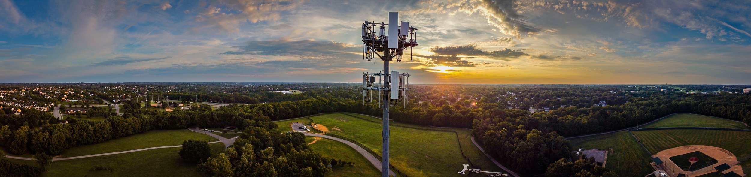
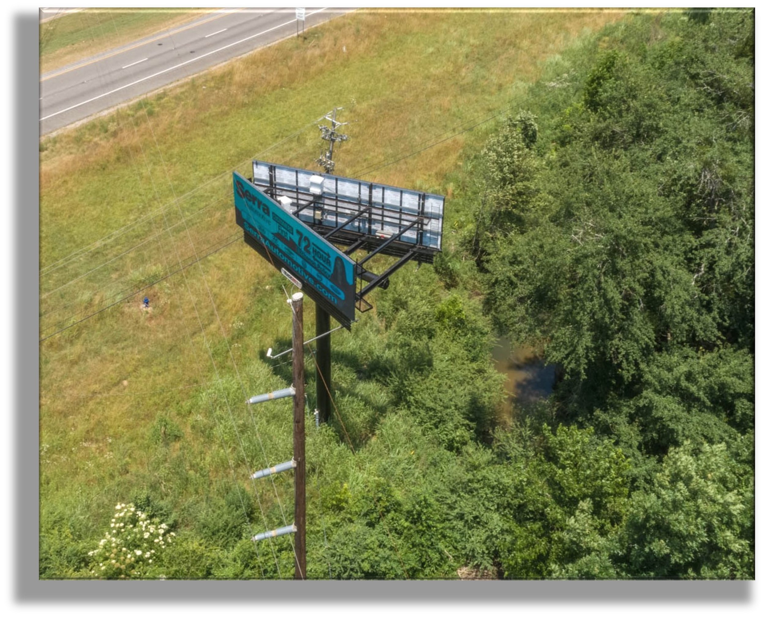
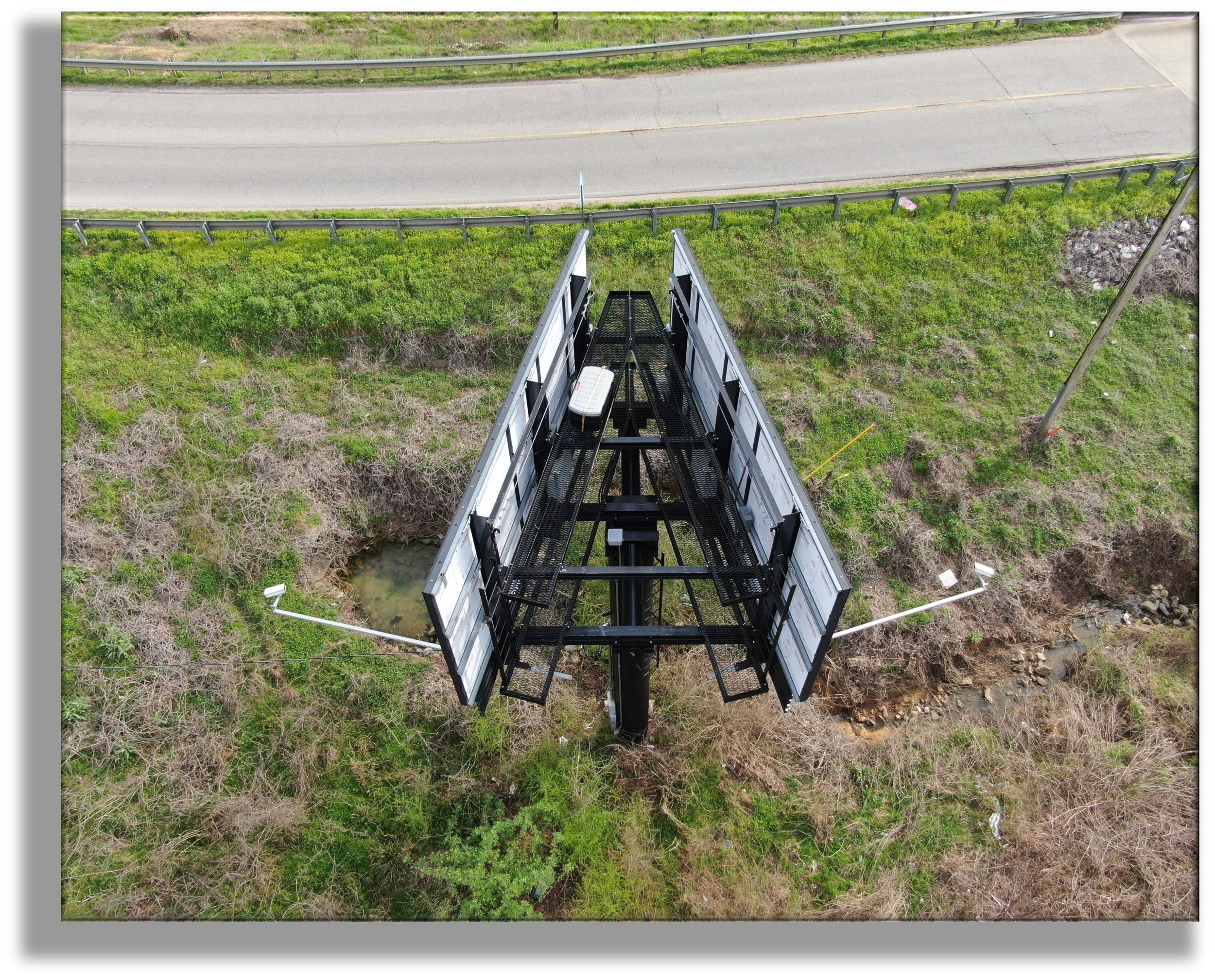
Billboards & Cell Towers
Our team safely and efficiently captures and documents key parameters associated with billboards and cell towers for the purpose of tax valuation. Utilizing (s)UAS technology, we provide services that eliminate the need for dangerous and time consuming manual inspections. Inspecting via drone enables us to observe high level detail from afar and to easily maneuver into difficult areas, thus avoiding potential damage to equipment and safety and health risks to personnel.
Field assessments are performed via drone in order to minimize safety and health risk and inspect difficult to reach or hazardous areas. Drones provide a means for accurate and comprehensive data collection and allow for faster collection timeframes than traditional methods. All necessary parameters associated with each asset are captured in a database for empowered desktop review, data verification, and cost analysis. The consistency and quality of data contained in the final work product increases the the client’s defensibility during appeals and can be easily customized and integrated into other software platforms for more proficient data sharing.


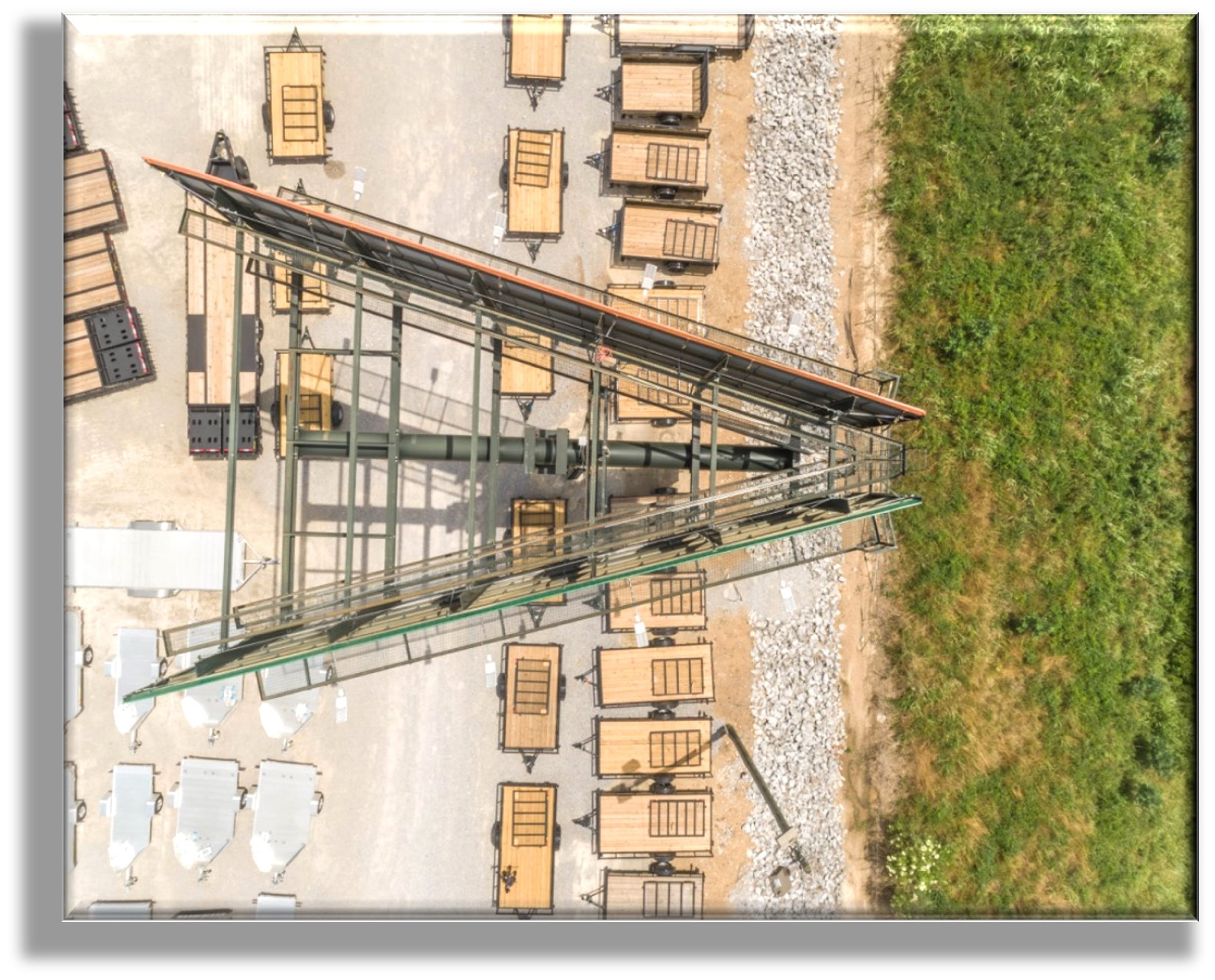
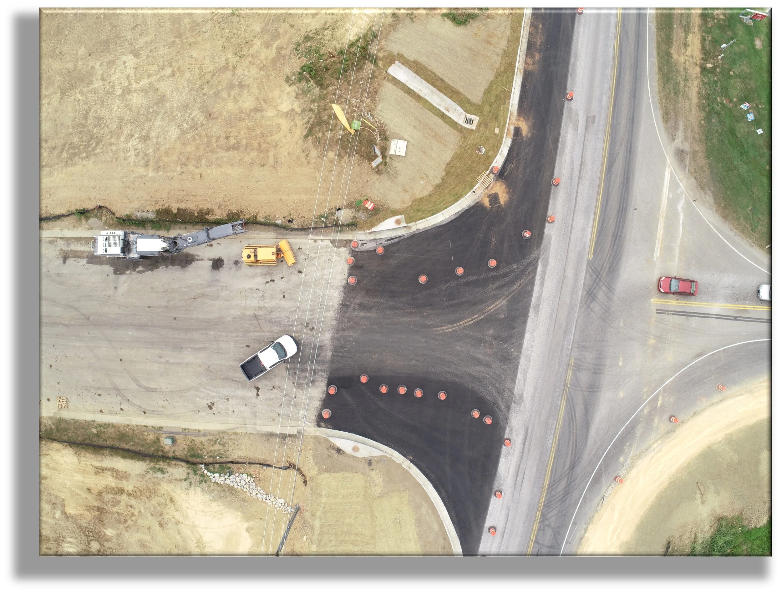
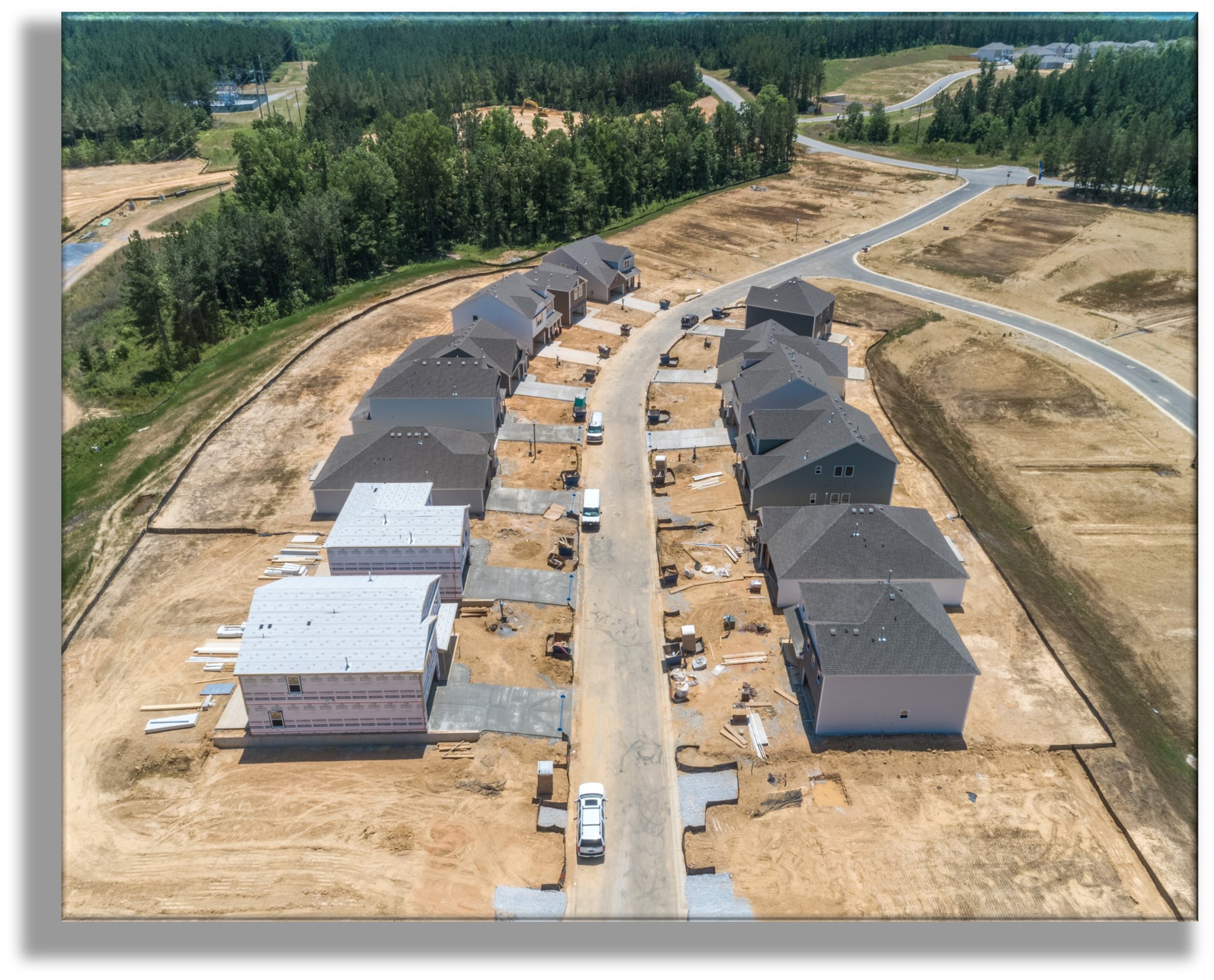
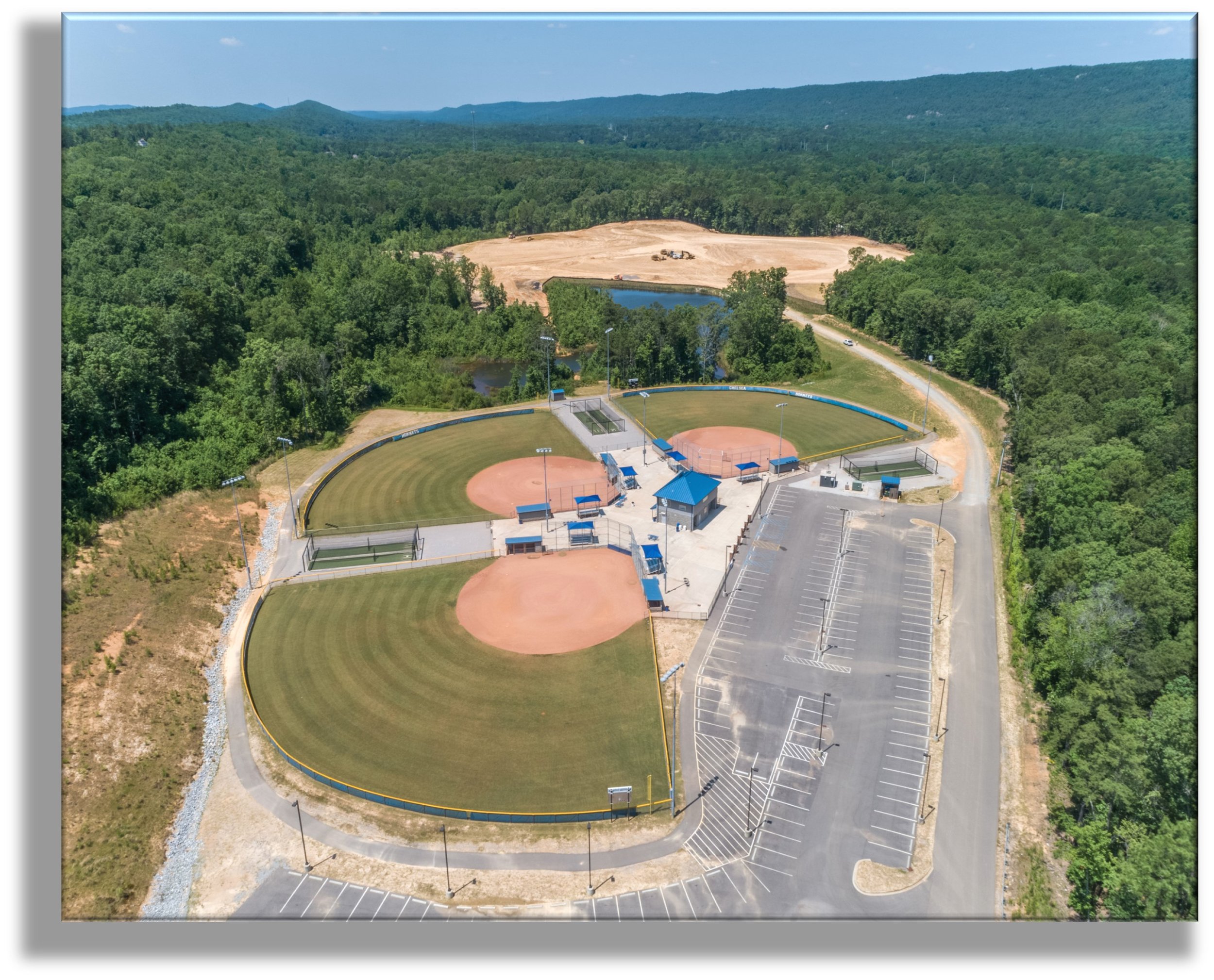
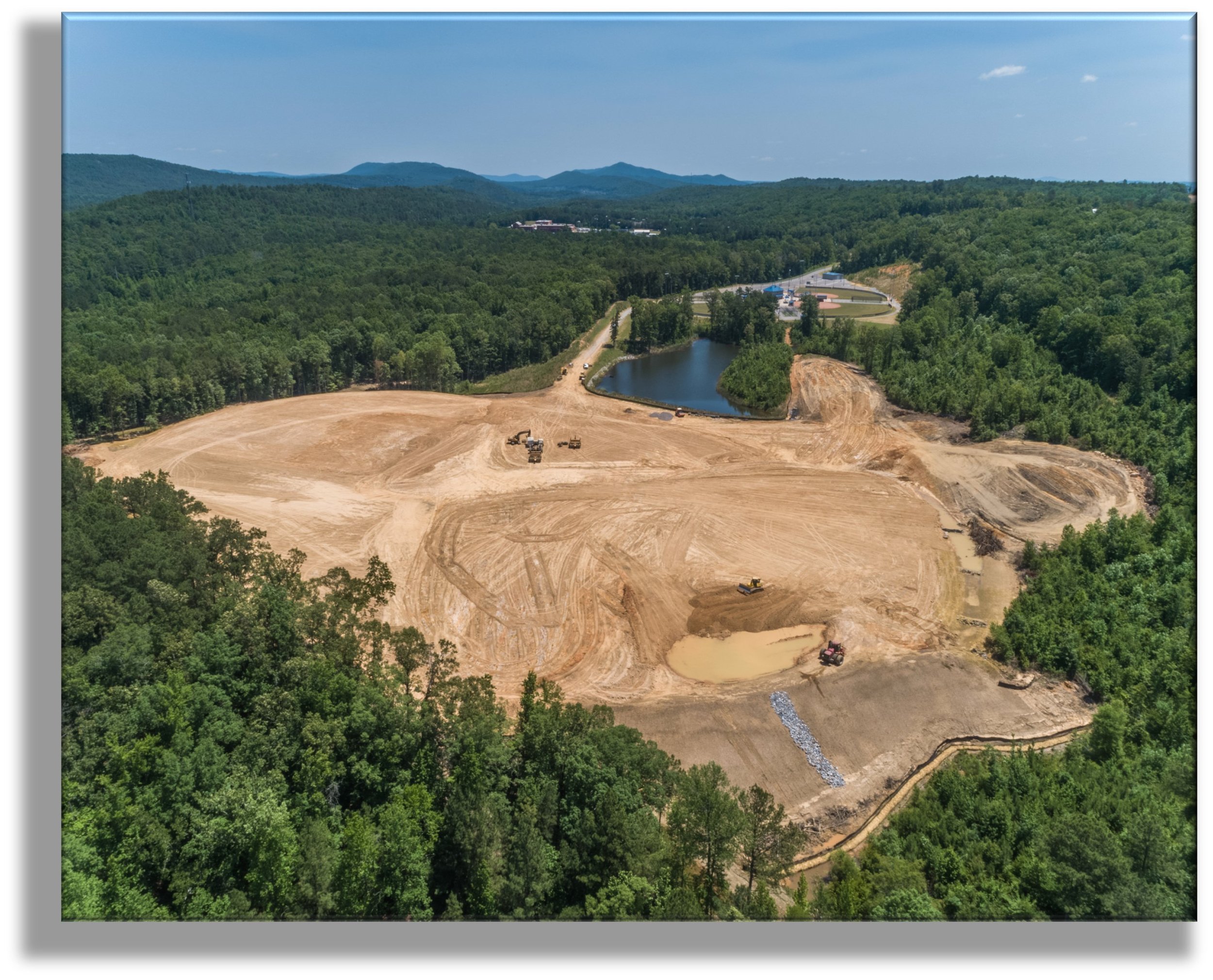
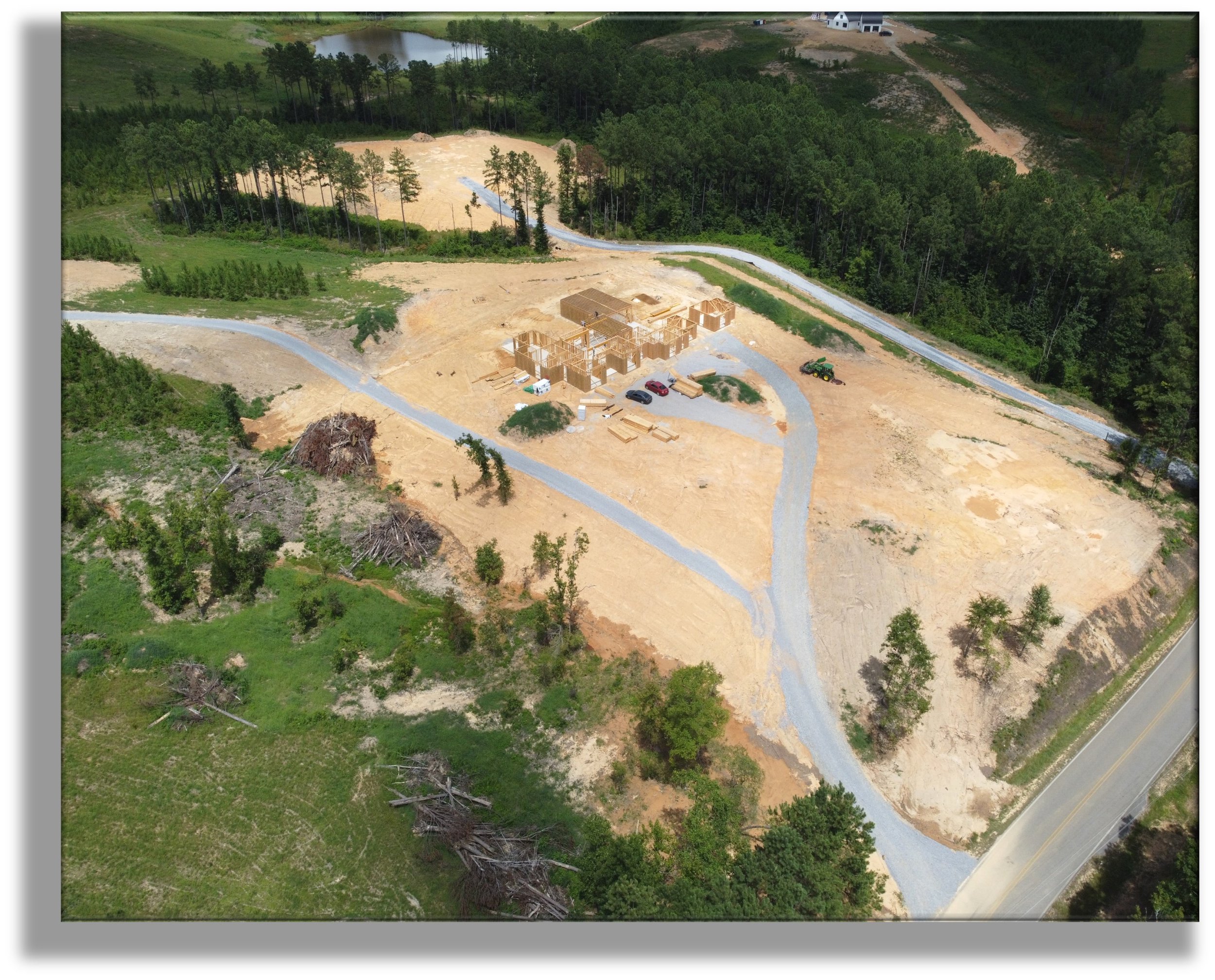
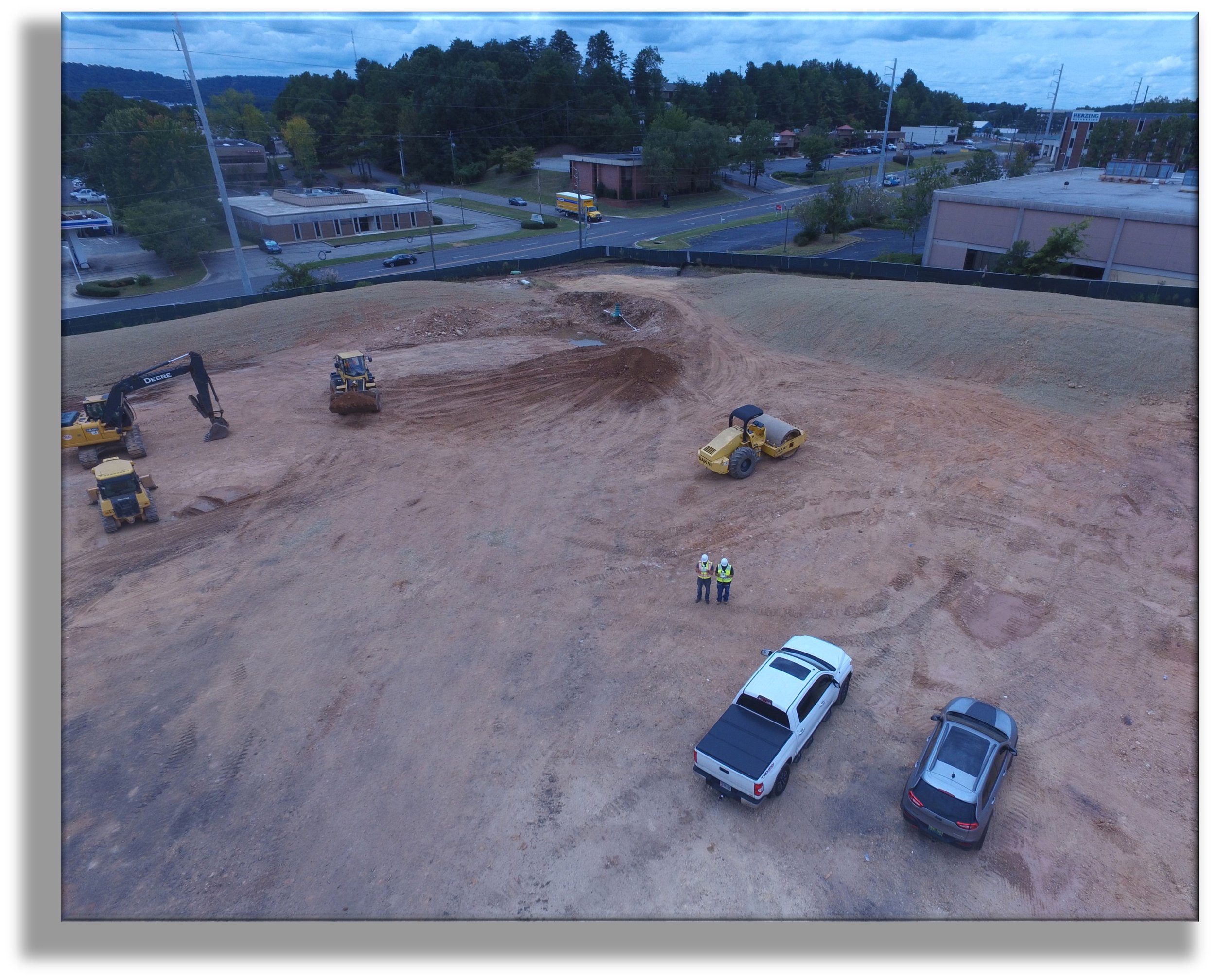
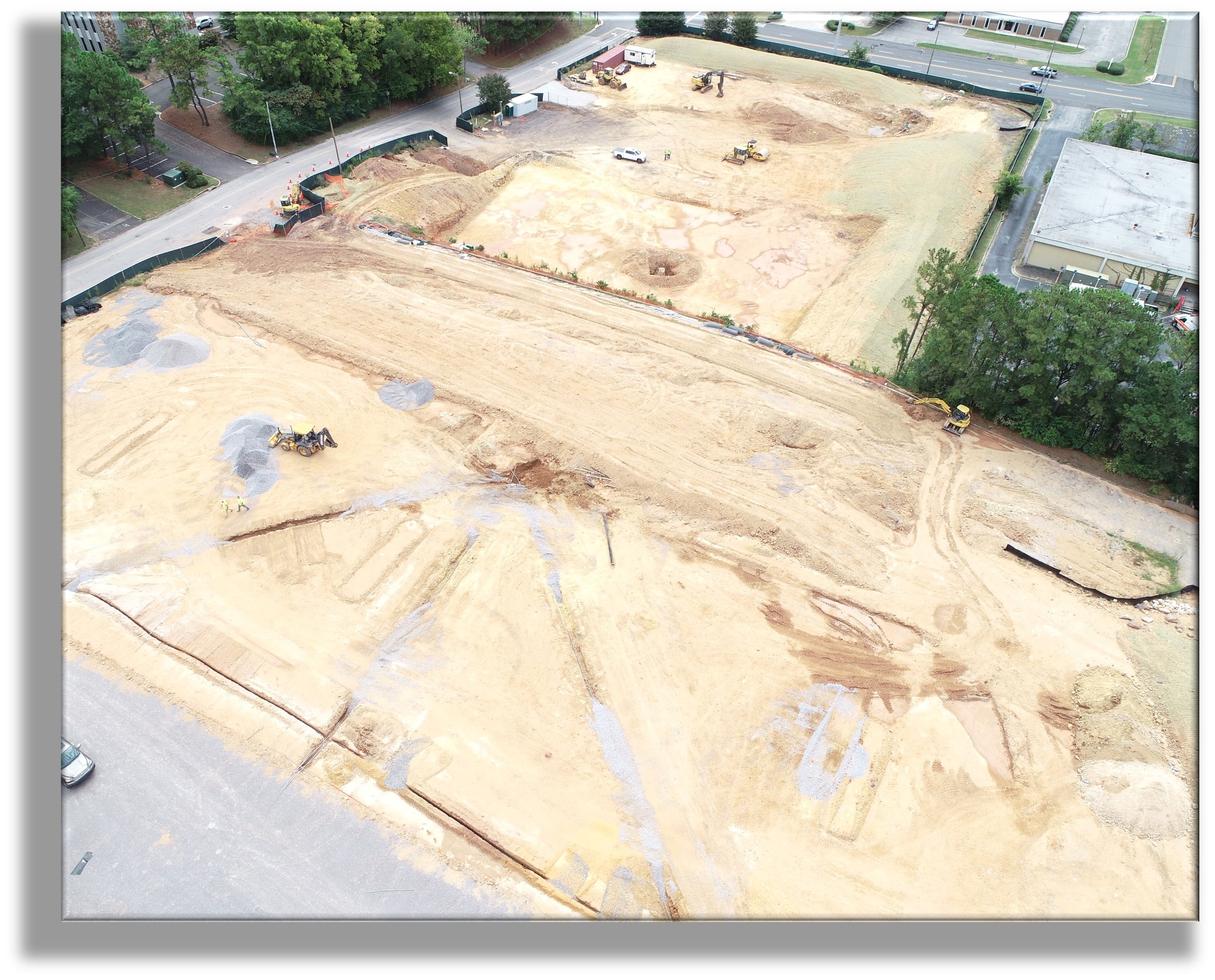
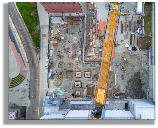
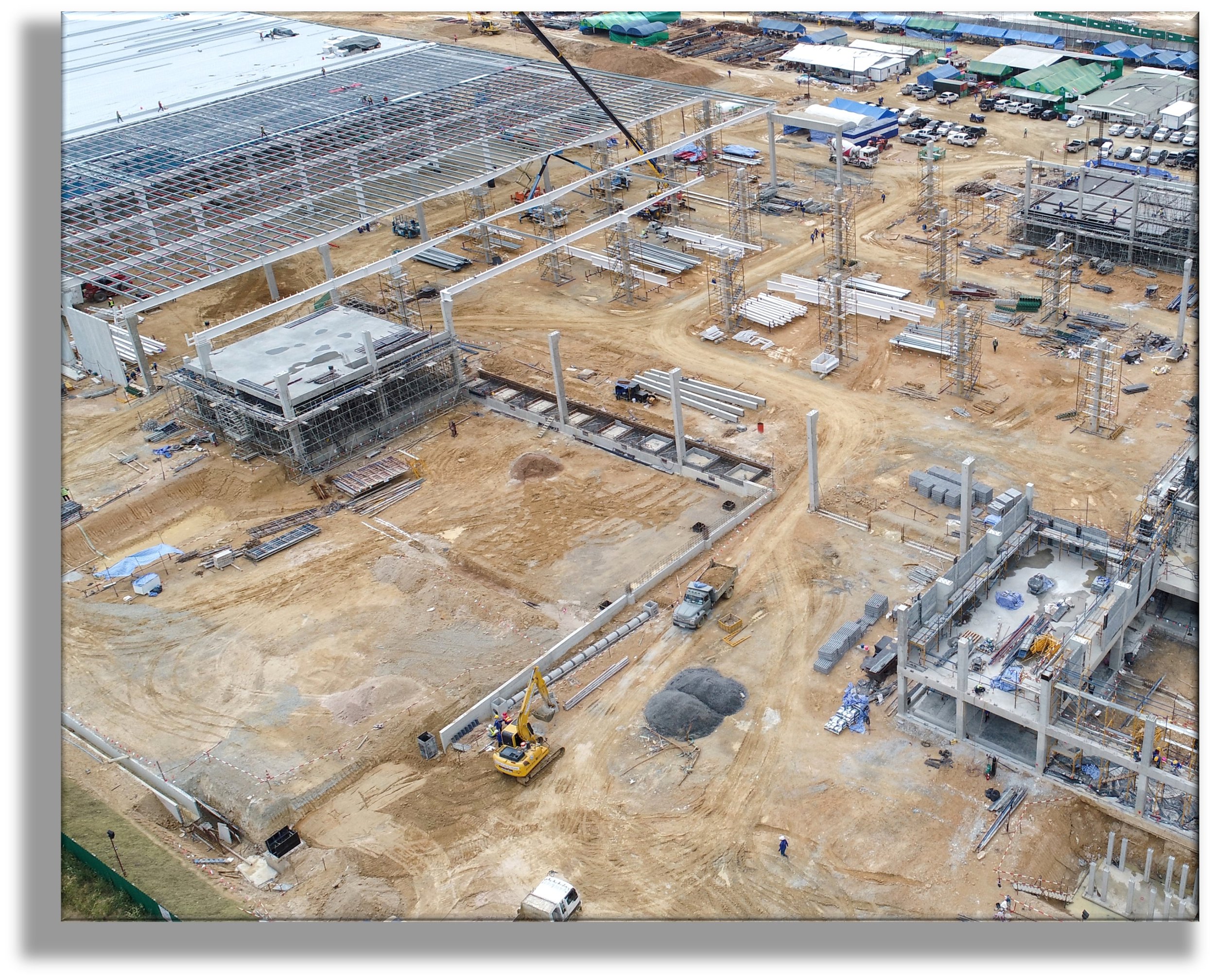
Construction Progress Tracking
Our aerial assessment services via (s)UAS, including imagery and video, enable total jobsite visibility, progress monitoring, and verification of property and assets.

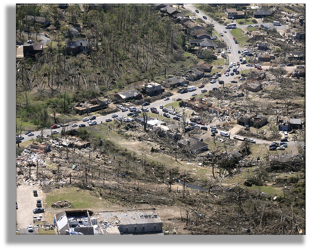
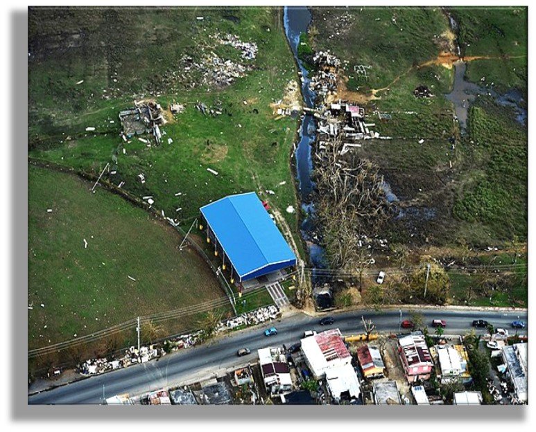
Emergency Response & Recovery
Drones enable our crews to safely assess hard to reach or remote areas, such as areas impacted by storm events and in need of quick response and recovery.


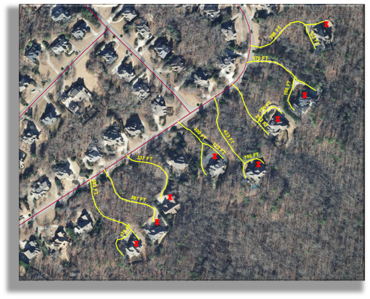
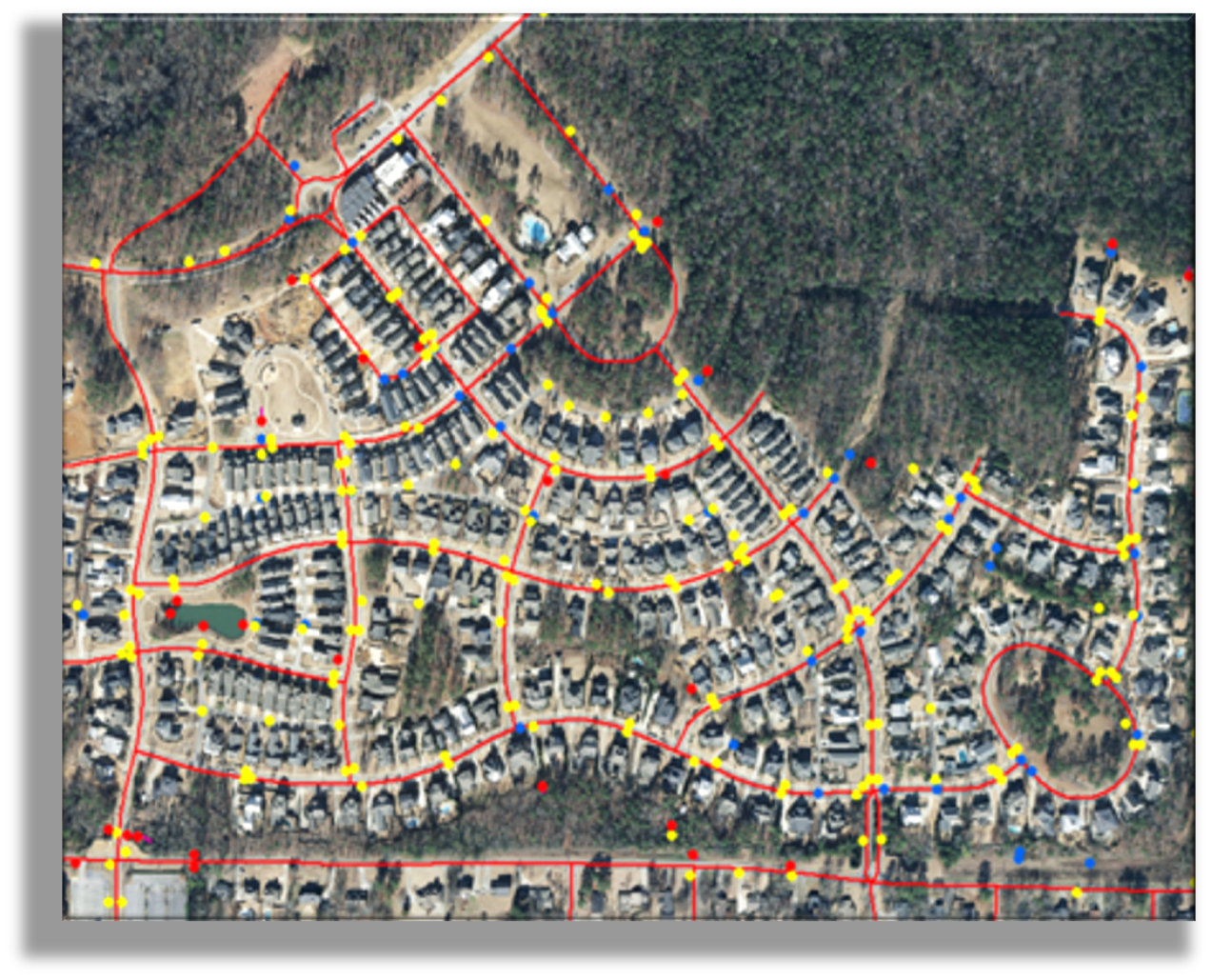
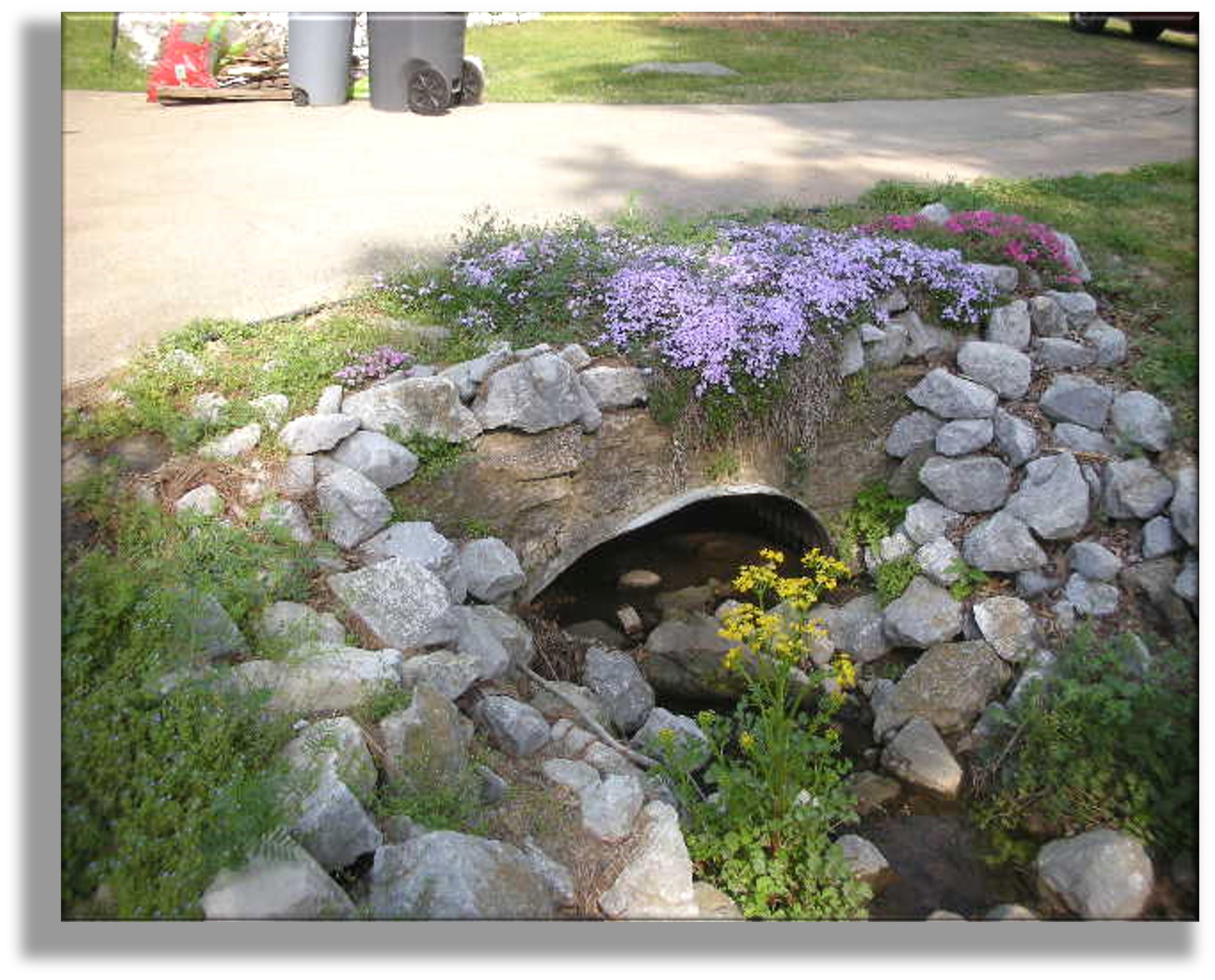
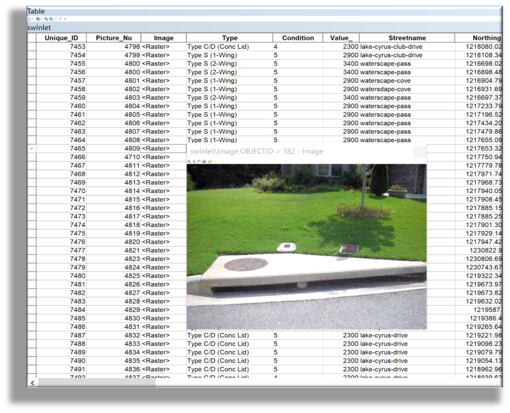
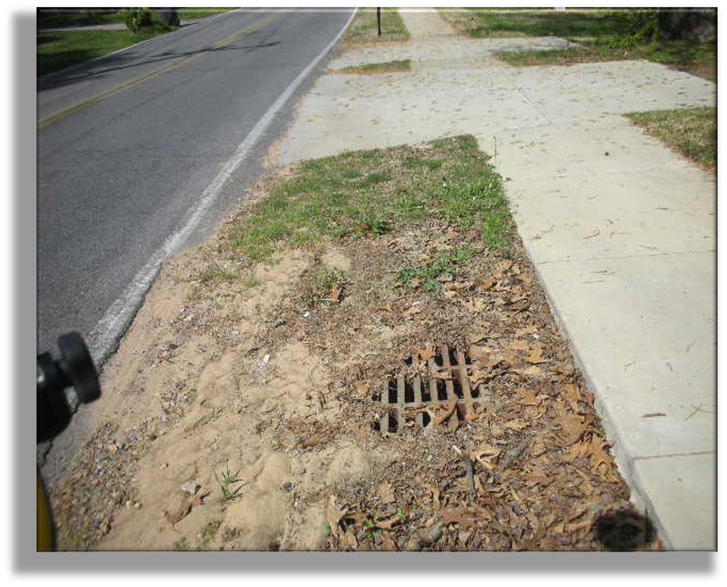
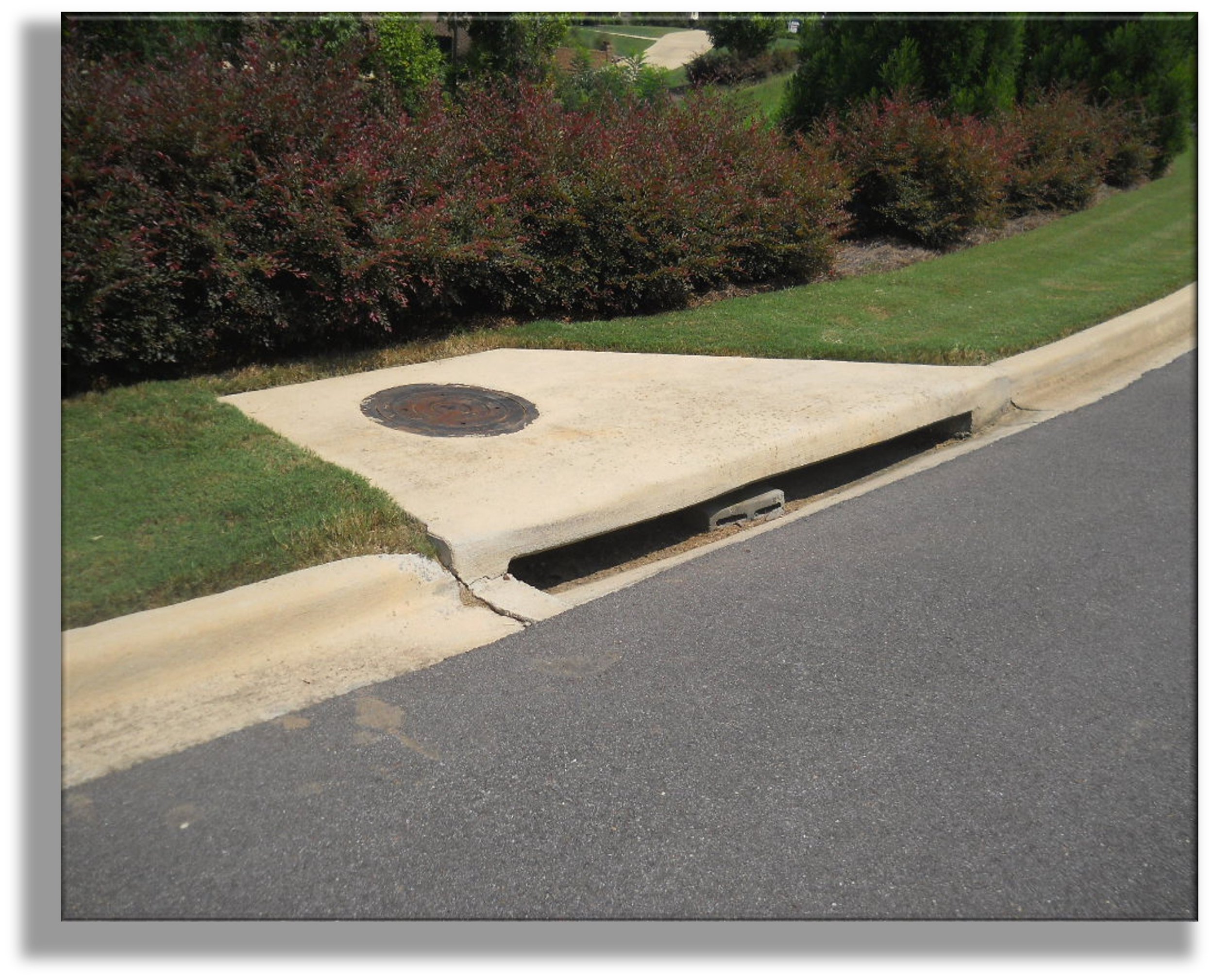
Stormwater Systems
We provide location, verification, and assessment of stormwater features including catch basins, pipes, stormwater manholes, curb inlets, culverts, and other aboveground public stormwater structures. ArcGIS is utilized to build out an asset inventory from field data collected to provide an authoritative view of your stormwater system. The services we provide in performing necessary calculations, analysis of data, and visualization of information enables you to better understand asset conditions and determine where to focus resources for compliance with regulatory requirements and optimizing maintenance decisions.


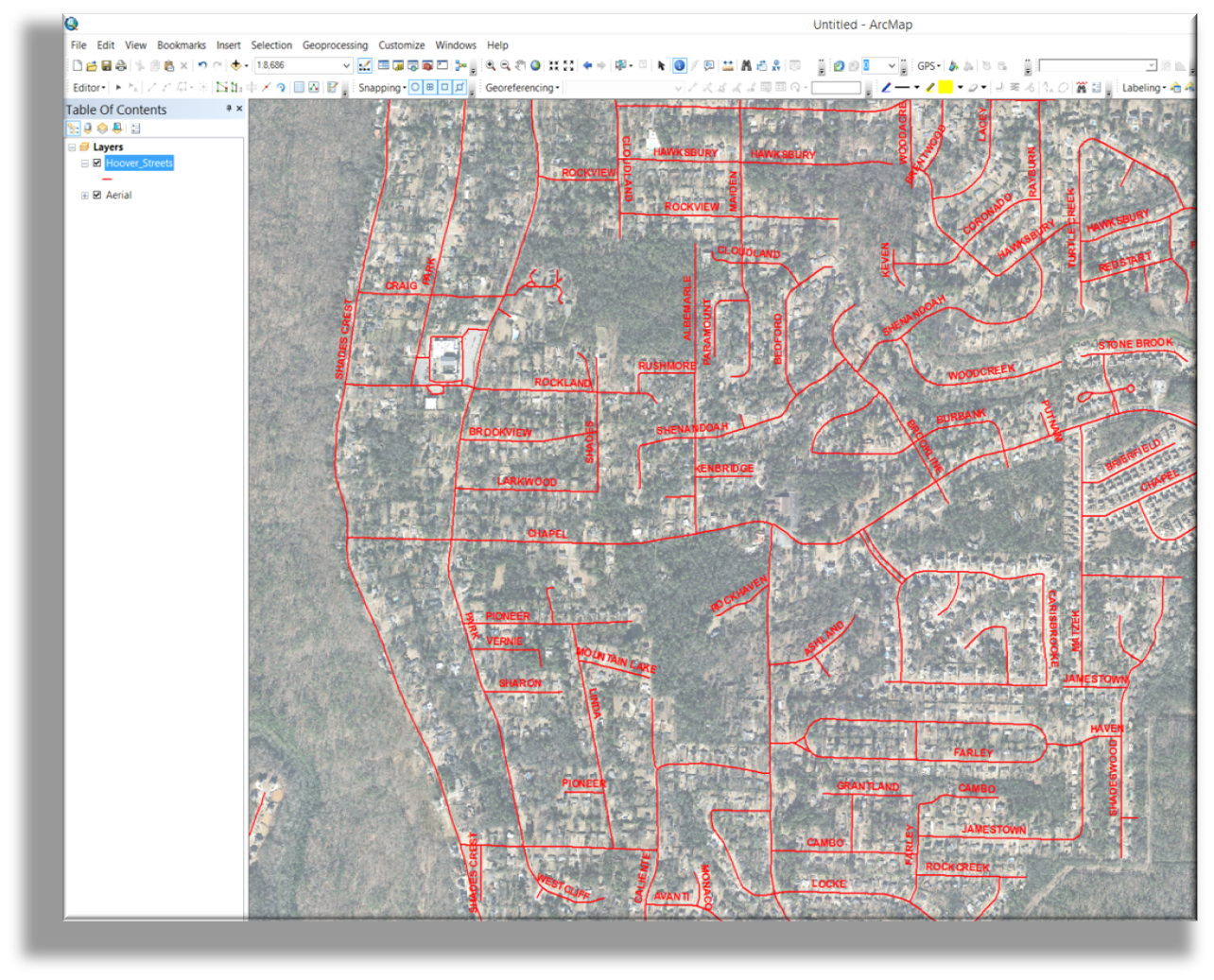
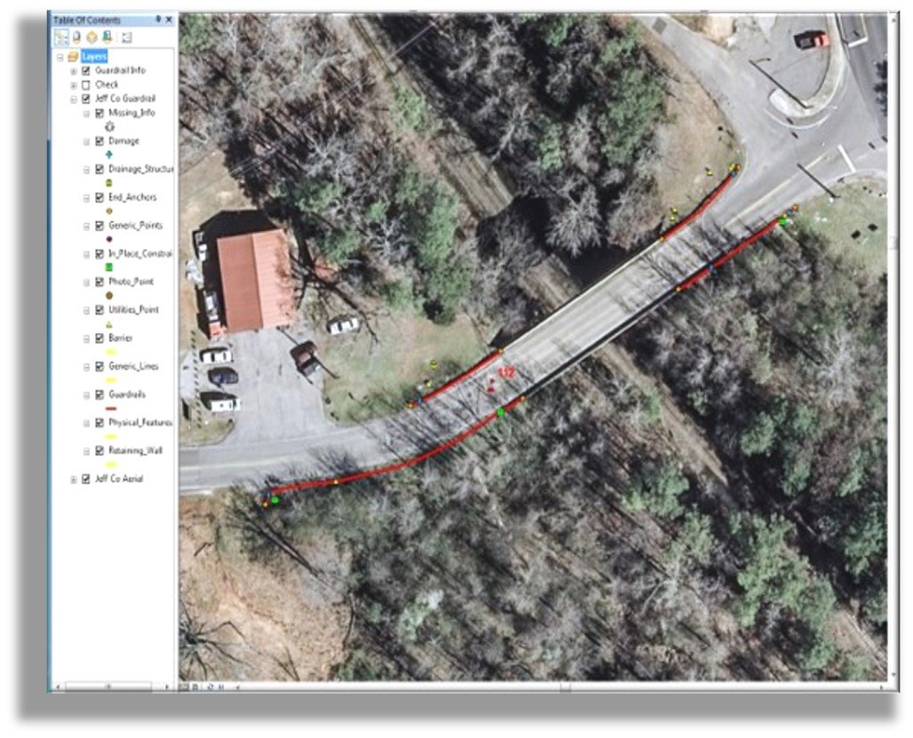
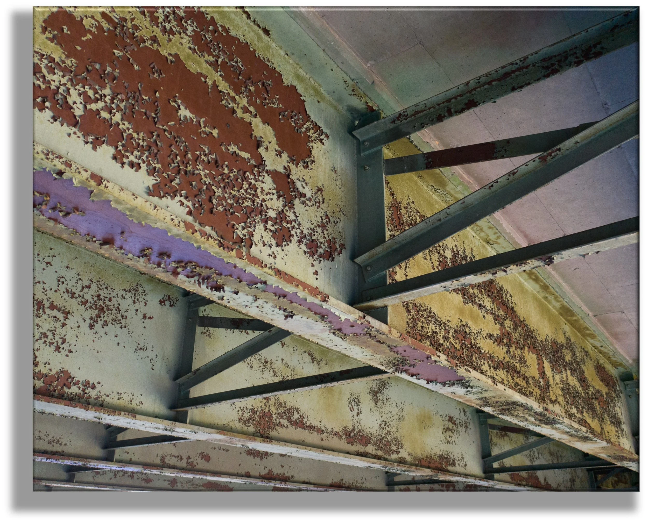
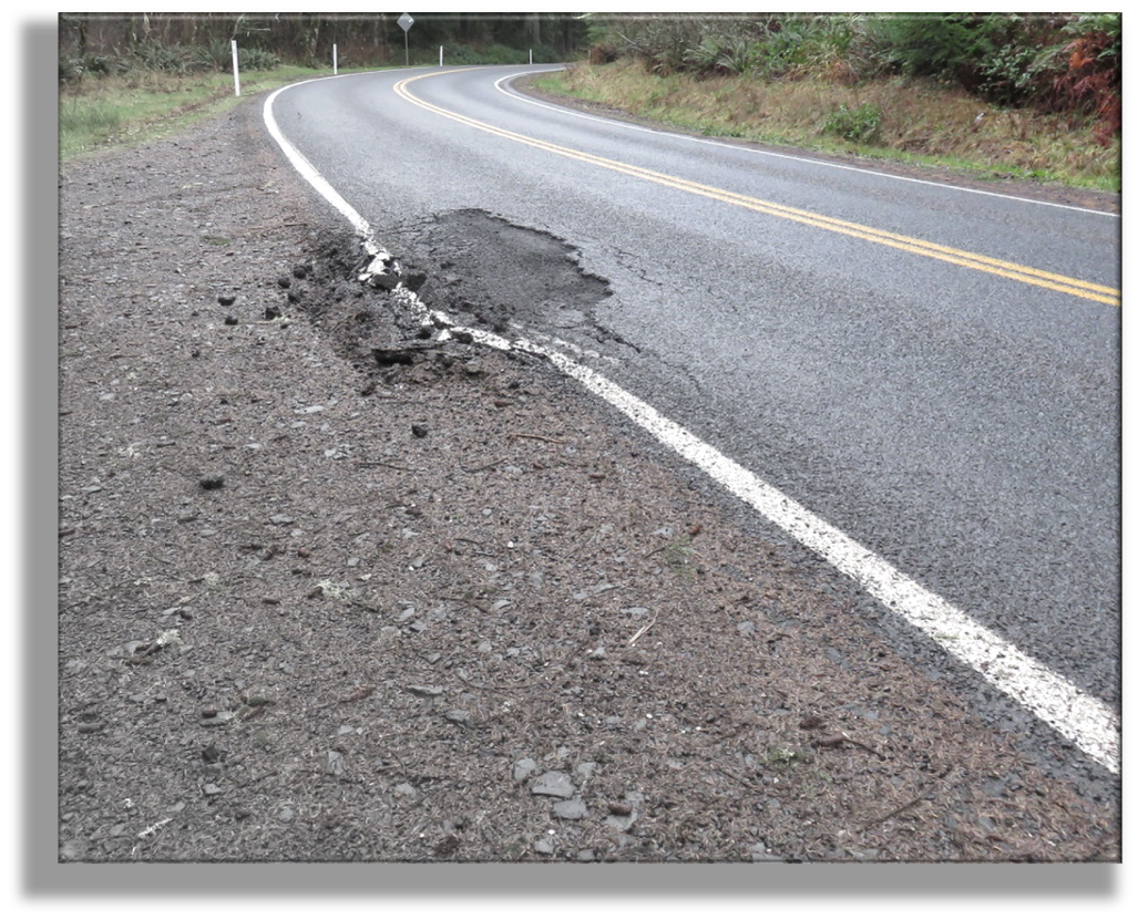
Roadways & Bridges
We develop roadway and bridge assessment programs to track conditions and manage maintenance schedules based on the State’s DOT safety standards; thus ensuring the safety of all city and state maintained roads and bridges and timely budgeting and forecasting. To ensure adequate vigilance and readiness during emergency events, we also provide mapping and verification of all addresses, driveways, and roadways included in a city's police and fire jurisdictions.